Middle Carter Mountain is a 4,610 foot mountain located in the Carter-Moriah Range in the White Mountains of New Hampshire. The summit of Middle Carter is wooded, so there are no views. There are several view points along the Carter-Moriah Trail, which is also part of the Appalachian Trail.
Elevation: 4,610 feet (1,402 meters)
Elevation gain: 4,698 feet
Distance: 10.9 miles roundtrip, with an extra 1.5 miles on the road when paired with South Carter Mountain. Or, hike just Middle Carter Mountain at 10.2 miles.
Duration (book time): 6-7 hours
Difficulty: Moderate
Trails
Carter-Moriah Trail, Nineteen Mile Brook Trail – 10.9 miles round trip
Start your hike at the Nineteen Mile Brook Trail Parking lot. Follow the Nineteen Mile Brook Trail for 1.9 miles until you reach a junction with the Carter Dome Trail. Here, you will stay left to follow the Carter Dome Trail for another 1.9 miles. You will reach a junction with the Zeta Pass to your right, and the Carter-Moriah Trail (Appalachian Trail) to your left. Here, you will stay left and continue along the Carter-Moriah Trail for roughly 0.8 miles until you reach the summit of South Carter Mountain. To continue over to Middle Carter Mountain, stay on the Carter-Moriah Trail for 1.3 miles until reaching the summit of Middle Carter Mountain. To descend, you have the option of retracing your steps, or continuing along the Carter-Moriah Trail for 0.6 miles until you reach a junction with the North Carter Trail to your right. Here, you will follow the North Carter Trail for roughly 1.2 miles until you reach the Imp Trail junction. Here, take the Imp Trail for 3.3 miles down to Route 16. You will walk along the road for about 1.5 miles until you reach the Nineteen Mile Brook parking area where you started.
Trail Map

Loop Hike Option
Hiking both mountains together works best with a car spot. You will start on the Imp Trail and follow along until reaching the junction with North Carter Trail. You will traverse Middle Carter and South Carter, and begin your descent on the Carter Dome Trail to Nineteen Mile Brook Trail back to Route 16. The Imp trailhead is about 1.5 miles to the north.
When hiking this loop, you may notice a trial that connects the IMP trail to Camp Dodge. This trail will save you around .5 miles of hiking if you choose to take this cutoff.
Elevation gain: 3700 feet
Distance: 10.8 miles roundtrip
Duration: 6.5 hours
Parking
The trailhead parking area for the Nineteen Mile Brook trail is located off of Route 16 in Gorham, New Hampshire. There is free roadside parking for the Nineteen Mile Brook Trail, the South and North Imp Trails.
Directions
To get to the Nineteen Mile Brook Trail parking area
Take exit 35 off I-93 where you will end up on US-3 / N towards Twin Mountain / Lancaster. Continue 12.3 miles and turn right onto NH 115 N. Drive 9.6 miles and turn right onto US-2 E / Presidential Hwy. Drive 12.5 miles and turn right onto Main Street. Drive 1.4 miles and turn NH-16 S / Glen Road. Drive roughly 6.8 miles until you see the Nineteen Mile Brook Parking Lot on the left side.
The IMP trailhead is located only another mile or so north of this trailhead.
Weather
Check a detailed forecast before heading out. Here is the forecast for the next four days
Gorham, NH
Tonight
Partly cloudy, with a low around 7. Wind chill values as low as -12. West wind 15 to 20 mph.
Monday
Isolated snow showers between 3pm and 5pm. Mostly sunny, with a high near 13. Wind chill values as low as -12. Northwest wind 15 to 20 mph.
Monday Night
Mostly cloudy, with a low around 9. Wind chill values as low as -10. Northwest wind around 20 mph, with gusts as high as 30 mph.
Tuesday
Isolated snow showers. Partly sunny, with a high near 17. Wind chill values as low as -7. Northwest wind 10 to 15 mph.
Tuesday Night
Mostly cloudy, with a low around 10. West wind around 15 mph, with gusts as high as 25 mph.
Wednesday
Isolated snow showers after 1pm. Partly sunny, with a high near 20.
Wednesday Night
Isolated snow showers before 7pm, then snow. Cloudy, with a low around 17. Chance of precipitation is 100%.
Additional photos
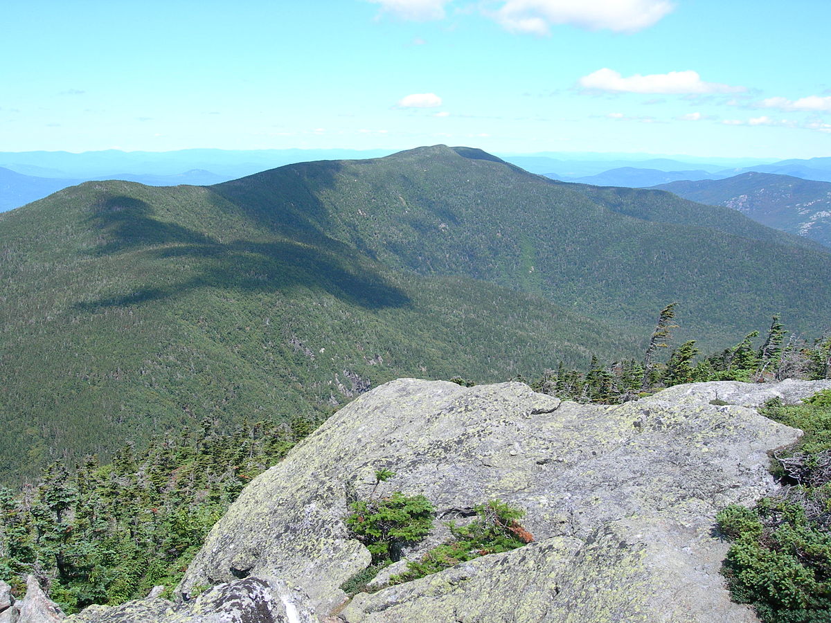
Photo credit – Wikipedia