South Carter Mountain is a 4,430 foot mountain located in the White Mountains of New Hampshire. It lies in the Carter-Moriah Range, running along the northeastern side of Pinkham Notch.
Elevation: 4,430 feet (1350 meters)
Elevation gain: 3,700 feet (1128)
Distance: 9.2 miles (14.8 km)
Duration (book time): 5 hours
Difficulty: Moderate
Trails
Nineteen Mile Brook Trail, Carter Dome Trail
Begin your hike at the Nineteen Mile Brook Trail Parking lot. Start hiking up the Nineteen Mile Brook Trail for 1.9 miles until you reach a junction with the Carter Dome Trail. Here, stay left onto the Carter Dome Trail for another 1.9 miles until you reach the junction with Zeta Pass to your right, and the Carter-Moriah Trail (Appalachian Trail) to your left. Stay left on the Carter-Moriah Trail and hike for another 0.8 miles until you reach the summit of South Carter Mountain. To descend, simply retrace your steps the way you came until you reach the trailhead parking lot.
Trail Map

Loop Hike Option
Hiking both South Carter and Middle Carter mountains together works best with a car spot. You will start on the Imp Trail and follow along until reaching the junction with North Carter Trail. You will traverse Middle Carter and South Carter, and begin your descent on the Carter Dome Trail to Nineteen Mile Brook Trail back to Route 16. The Imp trailhead is about 1.5 miles to the north.
When hiking this loop, you may notice a trial that connects the IMP trail to Camp Dodge. This trail will save you around .5 miles of hiking if you choose to take this cutoff.
Elevation gain: 3700 feet
Distance: 10.8 miles roundtrip
Duration: 6.5 hours
Camping and Overnight Hiking Options
The AMC Carter Notch Hut, which is open year around, is a couple miles to the South across Carter Dome. There is a small fee to stay and reservations are recommended during the busy season.
Hiking In Winter
Be prepared for changing weather and carry the proper gear that’s needed for hiking in snow and ice. Always check the Mount Washington Observatory’s Higher Summits forecast before heading out.
The steepest and iciest section of this hike can be avoided. However, if hikers are ascending to the Carter Dome, Middle Carter, or South Carter from the 19 Mile Brook Trail, or Carter Hut, they will immediately ascend an extremely steep and often icy section.
Parking
The trailhead for the Nineteen Mile Brook Trail is located off route 16 between North Conway and Gorham, New Hampshire. There is plenty of roadside parking.
Directions
From I-93, take exit 35 where you will end up on US-3 / N towards Twin Mountain / Lancaster. Continue along for roughly 12 miles and then turn right onto NH 115 N. Continue for 9.6 miles and turn right onto US-2 E / Presidential Hwy. Drive for another 12 miles and make a turn onto Main Street. Drive 1.4 miles and turn NH-16 S / Glen Road. Drive for roughy 6.8 more miles until you reach the parking lot for the Nineteen Mile Brook trailhead.
Weather
Always be sure to check the Mount Washington Observatory higher summits forecast before heading out on any day hike. The ridges are fairly exposed to weather even though they are not above treeline in the Carter-Moriah area, so plan accordingly.
Here is a detailed forecast for the next four days:
Gorham, NH
Tonight
Partly cloudy, with a low around 9. Wind chill values as low as -6. West wind around 15 mph, with gusts as high as 30 mph.
Monday
Isolated snow showers between 4pm and 5pm. Mostly sunny, with a high near 15. Wind chill values as low as -8. Northwest wind around 15 mph, with gusts as high as 30 mph.
Monday Night
Partly cloudy, with a low around 10. Wind chill values as low as -8. Northwest wind 15 to 20 mph, with gusts as high as 35 mph.
Tuesday
Isolated snow showers. Partly sunny, with a high near 18. Wind chill values as low as -6. Northwest wind 10 to 15 mph, with gusts as high as 25 mph.
Tuesday Night
Mostly cloudy, with a low around 10. West wind 10 to 15 mph, with gusts as high as 30 mph.
Wednesday
Isolated snow showers after 1pm. Partly sunny, with a high near 20.
Wednesday Night
Isolated snow showers before 7pm, then snow. Cloudy, with a low around 18. Chance of precipitation is 100%.
Additional Photos
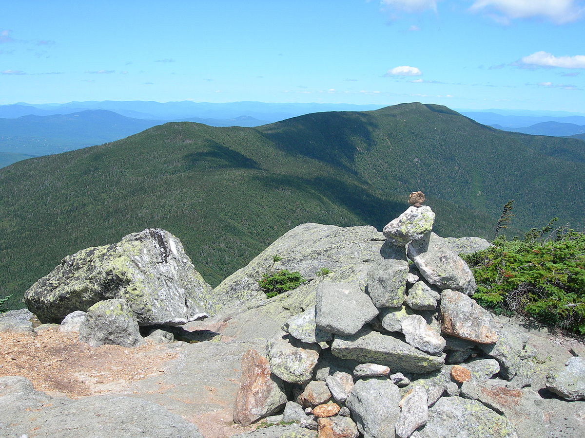
Photo credit – Wikipedia